
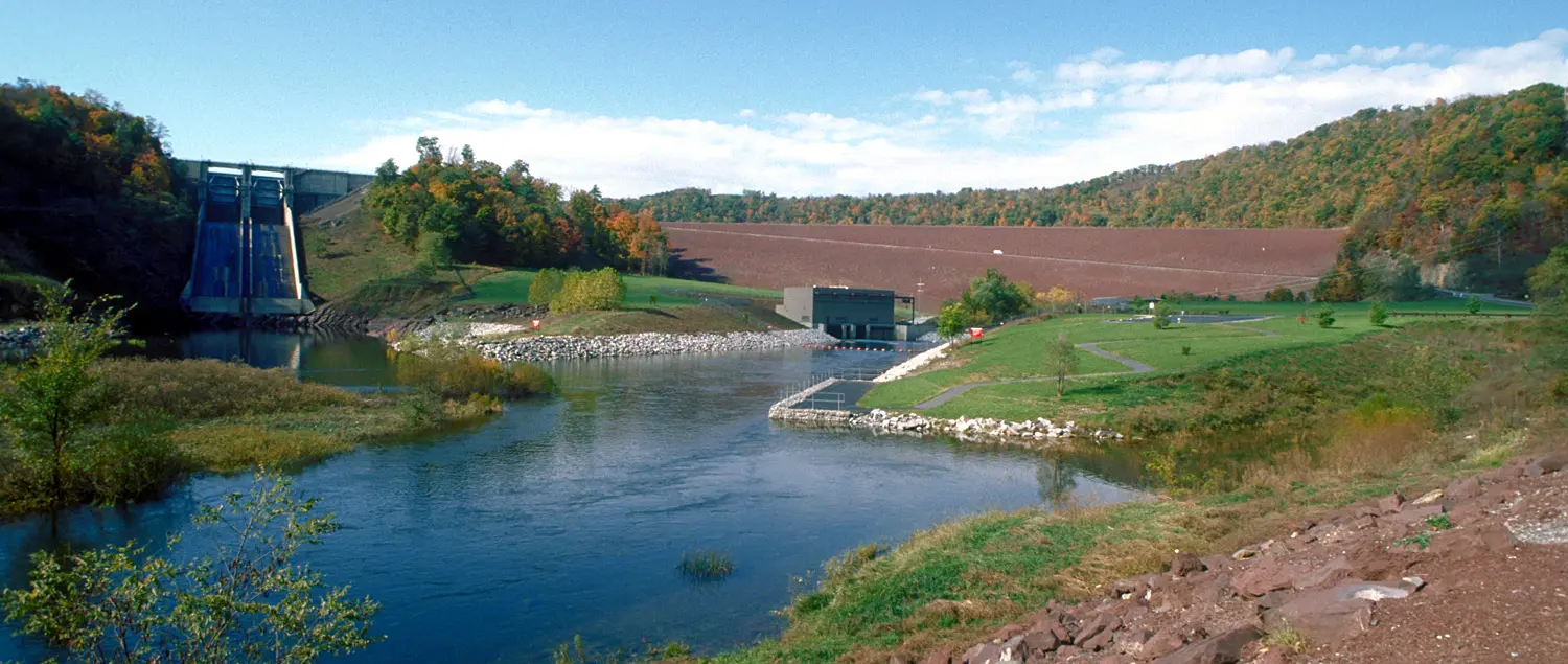
Raystown Lake drawdown is under way in Pennsylvania
The U.S. Army Corps of Engineers has begun a planned autumn reduction of water levels at Raystown Lake, with boaters warned that access at several familiar launching areas will change as the reservoir falls. The Baltimore District announcement, dated October 15, says the controlled drawdown was due to begin October 23, 2026, allowing maintenance teams and partner organisations to work on structures and exposed shoreline. This is an active operational notice, not a statement that the whole lake has closed to boating.
The Corps has published a target reduction from the normal summer elevation of 786 feet to 778 feet. Its timetable anticipates a level of about 783 feet by October 30 and the final target by November 9, with the lower pool remaining through December and January. These are planning figures rather than guarantees of a precise daily lake level; actual conditions remain subject to inflow, operational requirements and weather.
For trailer-boat owners in Huntingdon County and visitors considering a late-season getaway, the practical question is not just whether water remains navigable. It is which ramps still offer safe access, how reduced depth affects the chosen route and whether the planned return point will remain usable after further drawdown.
Four launching areas are expected to close after November 11
The Corps says the Seven Points, Aitch, Tatman Run and Weaver Falls boat launches are expected to close after November 11 because of the lowered water. Anyone planning to recover a trailer boat at one of these sites should take particular notice: a ramp that works at launch time can become unsuitable as the waterline retreats, especially if the boat stays afloat for several days.
Three other named access points—Snyder's Run, James Creek and Shy Beaver—are expected to remain open during the drawdown. Their expected availability is useful information, but it does not eliminate the need to check each ramp immediately before departure. Local water levels, maintenance activity, weather and parking arrangements can affect a specific facility independently of the broad Corps schedule.
Owners should resist the temptation to substitute the nearest ramp without checking its geometry and suitability. Trailer height, tow-vehicle access, submerged obstructions and the length of available concrete can be as important as the published reservoir elevation. The responsible choice is a ramp whose operator confirms current access for the actual boat, not simply one marked 'open' on an older map.
Why the Corps is lowering the reservoir
The drawdown is designed to expose parts of the lake and shoreline that are normally underwater, giving the Corps and its partners a window for maintenance, clean-up and infrastructure work. Organisations named in the announcement include Allegheny Electric, the Pennsylvania Fish and Boat Commission, the Friends of Raystown Lake and marina operators. Exposed areas are more accessible to crews carrying out repairs, inspections and removal of accumulated debris.
The Corps has also invited members of the public to join a shoreline clean-up while lower water reveals litter and objects that would otherwise be difficult to reach. Trash bags and gloves are available through the Seven Points Visitor Center during normal business hours, with designated collection points for material removed from the shoreline. Volunteers should check current visitor-center operations before travelling specifically to collect equipment.
Lower water does not make the lake edge an ordinary walking path. Newly exposed ground can be steep, unstable or covered with slippery mud, sharp objects and hidden holes. Families and volunteer groups should remain away from machinery and work zones, observe posted restrictions and avoid venturing onto freshly exposed shoreline where safe access is uncertain.
Boating on a falling lake requires a different margin
When a reservoir falls, familiar routes may no longer offer the same clearance near rock shelves, submerged tree stumps, shore access points and unmarked shallows. Captains should use charts suitable for the lake, their depth sounder and conservative speeds, while remembering that a previously safe track is not proof of safe depth at a lower pool elevation. A properly briefed lookout is especially useful around sharp bends and near recreational facilities.
Raystown Lake's official boating guidance covers a range of matters that continue to apply during the maintenance period, including navigation lights, safe launching behaviour and respect for other lake users. Federal recreation rules operate alongside Pennsylvania boating law; a falling lake level does not suspend registration, life-jacket or navigation requirements. Owners intending to cruise after dark should confirm their route and visible navigation markers before leaving a familiar area.
An overnight plan deserves extra thought. The Corps advises that overnight boaters must remain aboard their vessel except when at properly designated campsites, and that vessels should not moor overnight near recreation areas contrary to posted limits. Changes to the shoreline can make securing a vessel in an unfamiliar location more difficult, so marina confirmation or an agreed mooring is preferable to experimenting at dusk.
What boat owners should check before setting off
First establish whether the intended ramp is within the group scheduled for closure or one of the locations expected to stay open. Next obtain a current lake-level reading and ask the operating authority about any additional warnings, boat-ramp damage or marina limitations. A weather forecast remains important even on a sheltered inland reservoir, particularly in autumn when cooler water and shorter days reduce the margin for resolving mechanical problems.
Plan the trailer recovery before the launch. A low-water access problem can leave a family boat afloat without an immediately usable retrieval site, and a second vehicle or an alternative ramp may be farther away than expected. Carry enough fuel to reach that alternative safely, keep communication equipment working and tell a reliable shore contact where and when the boat is expected back.
The Corps's boating pages also remind visitors that parking is generally on a first-come, first-served basis and that launch practices should not obstruct other users. If conditions become busy at one of the remaining accessible ramps, launching fully prepared helps keep queues moving. No one should enter a construction zone or attempt to use a closed ramp simply because they have already travelled to the lake.
The published schedule is a guide, not a guarantee
The planned Raystown Lake drawdown offers a defined sequence: a start on October 23, an interim target around October 30, a lower pool in early November and expected ramp closures after November 11. The lake is scheduled to remain at its reduced elevation through December and January before natural precipitation and runoff help restore higher levels. All of these stages should be checked against the latest Corps advisory as they approach.
For local boaters, the notice provides a useful opportunity to adjust autumn and early-winter plans before arriving at a closed launch. Those with a boat already on the water should discuss lift-out dates or marina arrangements now, rather than waiting for a preferred ramp to become unusable. Maintenance can make the reservoir more useful in the long term, but it demands small practical changes from visitors in the short term.
Primary details come from the U.S. Army Corps of Engineers Baltimore District notice, with general access and safety guidance on its Raystown Lake boating page. For an individual trip, confirm real-time ramp conditions with the Raystown Lake Ranger Office rather than assuming that the published dates cannot change.