
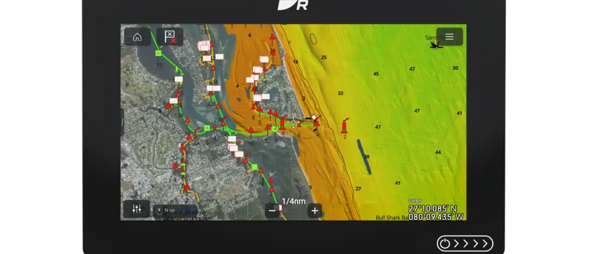
The bottom beneath a small fishing boat can change dramatically over a short distance, even when the surface appears uniform. Raymarine has expanded CMOR NEX GEN all-in-one chart coverage across Florida, linking detailed seafloor mapping with conventional chart information.
The updated package gives compatible Axiom users a broader regional dataset without changing to an entirely different chart ecosystem between coasts. It remains a navigation aid that must be used with current official information.
A broader bathymetric view
CMOR is known for detailed bottom information that can help anglers examine reefs, contours and structure. Statewide availability extends the useful area beyond a limited set of familiar grounds.
The quality and granularity of data can vary by location, so a skipper should not assume every metre has the same survey standard. Charts require proper interpretation and updates.
One display, several layers
Integrating the bottom layer with route information can reduce the need to move between unrelated products. It does not make the seafloor display a guarantee of safe depth at the moment of passage.
Tides, weather and changing local conditions remain essential inputs. Soundings and official notices must be considered as part of the actual route.
Useful for fishing and cruising
An under-12-metre boat may move between Atlantic, Gulf and Keys waters during its life. Consistent coverage can help an owner learn one interface across that travel.
LBG reports the official Raymarine mapping announcement and image, without claiming that the product replaces prudent depth checks. Coverage needs checking for the intended waters.