
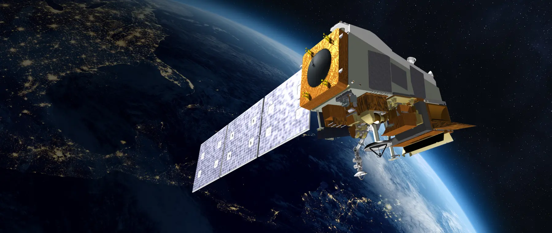
A definite date for a long-serving weather satellite
NOAA has set a firm timetable for the retirement of Suomi National Polar-orbiting Partnership, the American environmental satellite usually shortened to Suomi NPP. According to the agency's 19 October 2026 operational notice, delivery of the spacecraft's remaining science data products will stop at 13:00 UTC on Monday 2 November 2026. A separate feature describes a planned controlled end-of-life descent beginning on 1 December, marking the end of a satellite mission that has lasted well beyond its intended working life.
The announcement matters to marine-weather information users because satellites underpin much of the observing system used by forecasters and weather-data services. It does not mean boaters will lose NOAA marine forecasts on 2 November, nor does it mean every satellite image of the sea will disappear. NOAA specifically identifies newer polar-orbiting spacecraft that have already assumed the primary and secondary observation roles.
This is a planned technical change rather than an emergency failure. NOAA has published the termination time, the products affected and the transition pathway, giving professional data users an opportunity to adjust systems before the switch. Recreational boaters need not alter their navigation electronics merely because Suomi NPP is retiring, but the news provides a useful window into the infrastructure behind the weather information they read.
What Suomi NPP contributed to weather observations
Suomi NPP was launched on 28 October 2011 as a NASA-NOAA partnership project and a pathfinder for the Joint Polar Satellite System. It was originally designed for a mission of around five years, with the task of bridging older weather-satellite operations and a new generation of polar-orbiting instruments. Reaching autumn 2026 is therefore a significant extension of its designed service period.
Unlike a geostationary satellite that watches one broad sector from high above the equator, a polar-orbiting satellite repeatedly passes over different parts of the Earth. The observations support global analysis of clouds, atmospheric moisture, temperature and other environmental conditions. That coverage contributes to the broader data foundation from which weather models and specialist products are developed, including services relevant to ocean passages.
One of Suomi NPP's best-known instruments is the Visible Infrared Imaging Radiometer Suite, or VIIRS. NOAA points to its coverage of Superstorm Sandy in 2012 as an example of the mission's monitoring legacy, alongside observations of sea ice, volcanic ash, vegetation and wildfires. The value of these measurements lies in their continuity and scientific quality over time, not only in the dramatic storm photographs that are shared with the public.
The spacecraft's longevity has also carried a cost: NOAA says some instruments and supporting systems have degraded with age. Planning a safe and documented retirement acknowledges that modern environmental observation depends on a managed fleet rather than one satellite operating indefinitely. Long-lived equipment is useful, but agencies must be prepared to replace it before the reliability of critical data is compromised.
Which data stops on 2 November, and what replaces it
NOAA's two-week reminder lists a permanent end to delivery of the remaining Suomi NPP science products at 13:00 UTC on 2 November. The affected product families include VIIRS, the Advanced Technology Microwave Sounder, the Clouds and the Earth's Radiant Energy System, and multiple ozone-mapping measurements. High-rate direct broadcast from Suomi NPP is also scheduled to be disabled at that time.
The detail is most important to weather companies, research users and organisations that directly ingest products identified by satellite name. An automated service that expects a specific Suomi NPP feed must migrate instead of assuming the old stream will be silently repointed. NOAA explicitly instructs its users to turn to NOAA-21 and NOAA-20 products distributed through its Product Distribution and Access services.
NOAA-21, launched in 2022, has served as the primary satellite in the agency's Joint Polar Satellite System since 2024. NOAA-20, launched in 2017, provides the secondary role; Suomi NPP has been carrying tertiary or backup observations. These are not newly announced replacement satellites waiting to be commissioned after retirement: they are already integral parts of the observing constellation.
The notice therefore should not be read as a general announcement that United States marine weather will become unavailable. There can be specialised data-processing adjustments for downstream users, but NOAA's named operational transition is to established observing assets with similar instrument capabilities. Readers should differentiate between the shutdown of one spacecraft's products and the continuation of NOAA's overall forecasting services.
How the spacecraft will leave orbit in December
NOAA's end-of-mission plan begins on 1 December 2026, when its Office of Satellite and Product Operations expects to start lowering Suomi NPP's orbit. Engineers plan a series of maneuvers spread over approximately twelve days, with altitude reductions of around 50 kilometres at intervals. They will review the spacecraft's position and condition before and after each burn and check its new orbit against other objects in space.
Once the satellite approaches an altitude of approximately 200 kilometres, the plan calls for a final maneuver leading to atmospheric reentry over a remote part of the South Pacific. NOAA says the chosen region and controlled process are intended to reduce the risk that any surviving fragments present to people and property. This is a planned disposal operation; it is not a warning that vessels should expect falling objects throughout the Pacific.
Low Earth orbit is increasingly crowded with working satellites and other debris, and NOAA has highlighted the environmental responsibility involved in clearing an old spacecraft when feasible. Suomi NPP was designed with an end-of-life disposal approach in mind, unlike certain earlier missions left in orbit when decommissioned. The agency expects to post daily deorbit status updates after the maneuvers begin.
For marine operators, the distinction between science-product shutdown and physical reentry is worth retaining. The data service stop is scheduled for 2 November, while the orbital retirement follows about a month later. A chartplotter or weather receiver will not show the spacecraft dropping out of service in the same way a device might show a lost GPS fix, because different satellites serve different purposes within the broader navigation and weather ecosystem.
The lesson for weather-data resilience on boats
A coastal boat owner may get a marine forecast from a government website, a commercial application or a multifunction display connected to a data service. The information can travel through many systems before it reaches the helm, which makes the origin, issue time and expected update interval more important than the name of one orbiting instrument. When conditions are unsettled, current official forecasts and warnings remain the basis of the go-or-no-go decision.
A long offshore passage presents a different exposure. If onboard systems depend on a particular communications route or subscription service, the skipper should know how that service receives new forecasts and how to retrieve the official marine products when the usual channel is unavailable. A second independent way to obtain updates can be valuable, particularly before crossing weather-sensitive areas or narrow approaches.
Suomi NPP's retirement illustrates that major observation networks evolve through deliberate replacement and redundancy. NOAA's published transition plan is useful evidence of that principle, although it does not establish whether any particular commercial app will alter its product or timetable. Owners who rely on a specialised satellite imagery feed should check with the provider, rather than assume it is either unaffected or unusable.
Sources: NOAA/NESDIS, 'NOAA to Deorbit the Suomi NPP Satellite after More than 15 Years in Service' (19 October 2026), and NOAA/NESDIS operational notice 'Update #2: Cessation of S-NPP Data to Users' (19 October 2026). The original release appears at NOAA's retirement feature, with the dated product details on its operational notice.