
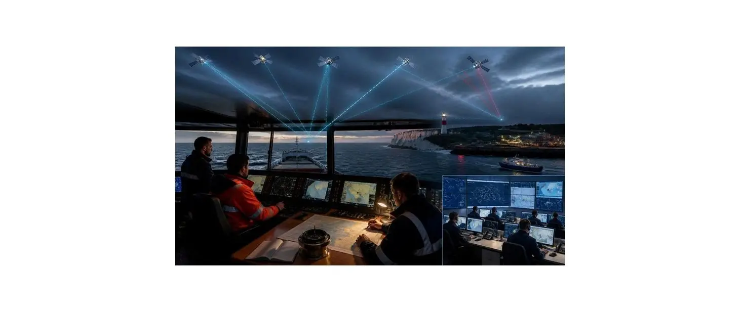
Satellite navigation is not always dependable
The UK's Maritime and Coastguard Agency has issued Marine Guidance Note MGN 719, addressing the risks of navigation in areas where satellite positioning is degraded or unavailable. British Marine highlighted the publication in October as a relevant development for the country's marine industry.
Boaters commonly use GPS information through their chartplotters and other displays. The new guidance is a reminder that electronic position data can be wrong even when a screen appears to be operating normally.
Jamming and spoofing work differently
Jamming can prevent a GPS receiver from obtaining reliable satellite signals, while spoofing involves false data that may mislead equipment about its location. A vessel may encounter disrupted information without a familiar alarm identifying exactly what has happened.
Different electronic displays can also share one source of position data. If that underlying input is compromised, several devices may repeat the same inaccurate location rather than provide independent confirmation.
Traditional checks remain useful
Visual bearings, navigation marks, radar information, soundings and dead reckoning can help a skipper test whether a digital position is credible. The appropriate combination depends on conditions, available instruments and the crew's skills.
No method should be used uncritically, and a handheld GPS is not necessarily an independent solution if it suffers the same signal disturbance. Training and practice are necessary before a navigation failure becomes urgent.
Practical preparations for smaller craft
Owners can start by identifying which onboard systems receive GPS or GNSS data, checking alternative navigation options and making sure paper or independent electronic information is accessible. A simple written procedure can help crews respond coherently if position data suddenly seems wrong.
The MCA's notice also encourages operators to rehearse contingency arrangements. Recreational skippers can adapt this principle to their vessel's size and cruising area rather than assuming an elaborate commercial-ship system is required.
A safety reminder, not a blanket ban
The publication reflects concern about growing interference affecting maritime navigation. It is guidance for safer operation and should not be misread as proof that every leisure vessel is subject to an immediate new equipment mandate.
For boat owners, the practical lesson is to maintain navigational awareness and treat satellite-derived coordinates as one input among several. Local notices and the latest official guidance remain the best sources for specific risk areas.
How several displays can repeat one error
Modern recreational boats often connect a GPS receiver to chartplotters, autopilots and other instruments using common data networks. A single incorrect position can therefore appear on several screens simultaneously. Seeing the same coordinates twice does not establish that the information is independent, particularly when devices share a receiver or rely on signals from the same satellite system.
Skippers should understand which onboard equipment supplies the position data and what warnings it provides when accuracy is reduced. A written diagram of connections may be helpful during maintenance or troubleshooting. This knowledge is valuable before interference occurs because a confusing display in an unfamiliar harbour is not the ideal time to discover how the network was installed.
Recognising an implausible position
A discrepancy may first appear as a sudden jump on the chart, a reported speed that cannot be correct or a plotted track that crosses dry land. In other cases, the indicated location may look reasonable while being displaced enough to matter in shallow water. The absence of an alarm is not assurance that the information is safe to use.
The crew can compare the electronic display with the coastline, known navigation marks, radar or measured water depth where available. If the evidence does not agree, the safest response may be to slow down, maintain a careful lookout and move into suitable safe water. Continuing rapidly because the screen still shows a route can compound the initial problem.
Traditional navigation is still a practical backup
A compass, a suitable chart and an understanding of course, speed and time can help estimate a vessel's position when electronic information becomes unreliable. Dead reckoning is not exact, especially when the tide or current is strong, but it can provide a more useful basis for cautious decisions than knowingly following an erroneous satellite fix.
Training makes alternative methods realistic. A skipper who has only watched somebody else take a bearing or plot a position may find the procedure difficult under pressure. Short practice exercises in familiar water help crews understand how errors grow over time and why frequent observations are important.
Autopilot use requires particular care
Some autopilot installations can follow a route derived from GPS information. If that position is inaccurate, the system may attempt to steer toward a waypoint that is not where the crew expects. Autopilot convenience should never be allowed to replace active monitoring of the surroundings and the vessel's real movement.
Before leaving the dock, owners can review how to disengage automated steering and return to direct control. Crew members should know where the relevant controls are located and how warnings will appear. Equipment manuals and competent installers can provide instructions for the specific hardware rather than relying on generic advice.
Contingency planning for smaller boats
A practical plan need not resemble the bridge procedures of a commercial ship. For a small coastal cruiser, it may identify alternative bearings, local safe havens, useful paper or offline navigation material and the person responsible for monitoring position information. It should also consider the loss of electrical power, which can remove several electronic aids at once.
MGN 719 raises awareness of a problem that can be difficult to diagnose. Skippers should follow relevant official notices, test procedures in calm conditions and seek instruction where needed. The central habit is independent awareness of where the boat actually is, even when digital navigation works well most of the time.
Owners should check that everybody likely to take the helm knows how to steer safely without relying on a moving-map display. A short practice exercise on familiar water can reveal whether steering, compass information and paper or offline charts are readily accessible. It can also show which crew members need further instruction before being expected to handle a position-data problem independently.
Interference can be intermittent, making the apparent recovery of a signal particularly misleading. A position that suddenly returns to the expected location should still be checked against another observation before normal navigation resumes. Skippers can record the time, place and symptoms of a suspected incident and follow official reporting guidance where appropriate, helping marine authorities understand patterns of disruption.