A planned connection between the helm and phone
Enovation Controls, part of Helios Technologies, has announced a partnership with C-MAP to bring marine charting into its No Roads navigation platform. The agreement is intended to combine digital marine charts with compatible Enovation Controls displays and a mobile application. The company says the display integration is planned for model-year 2027 products, while app integration is targeted for spring 2027. Those dates are targets from the October 2026 company release rather than proof of current public availability. For leisure boaters with compact helms, the proposed benefit is a more continuous experience between a fixed display and a portable screen. The detail that will matter in practice is which products actually support it and what chart functions are available.
What the partnership covers
C-MAP is a Navico Group brand known for digital marine cartography, while Enovation Controls develops displays, controls and instrument systems for equipment manufacturers. The Helios announcement specifically names the X charting platform and plans to bring C-MAP content into the No Roads environment. It also describes a connected experience that could move between an embedded helm display and a mobile application. The release does not say that every existing Enovation device will receive an update, nor that all chart regions and subscription levels are included without cost. Those are material questions for anyone evaluating an electronics package. A development partnership is a substantial step, but the final product list and software terms will determine its practical reach.
Why small boats could benefit
Boats under twelve metres often have limited dashboard space and fewer places to mount displays. A helm that shows navigation, engine information and other key data clearly can simplify the operator’s workload. If the same planned route or chart view can be accessed away from the wheel, preparation may also become easier. Those potential advantages require careful integration: screen brightness, touch control, legibility in spray and the way alarms are presented all influence real use. A mobile phone can be useful for planning, but it should not become the only navigation aid aboard. Small-boat owners should regard the announced integration as a possible future option, not as evidence that a specific current model has those capabilities.
The significance of C-MAP's X platform
C-MAP’s product family includes DISCOVER X and other digital chart offerings, and the official announcement identifies DISCOVER X as part of the partnership’s intent. Electronic charts bring depth contours, navigation aids and shoreline information together, but their value depends on accurate coverage, timely updates and suitable display settings. A new software integration has to handle chart licences and updates as well as the visible map. Boaters should confirm which region and chart edition a device supports, and whether offline access is provided for their intended waters. No product should be presumed to display identical detail worldwide simply because the platform supports global markets. The final documentation, not the marketing description, should establish coverage.
Display and mobile app have separate schedules
The company distinguishes two stages. Compatible model-year 2027 Enovation Controls displays are the first target, with the No Roads app integration aimed at spring 2027. This matters because hardware production cycles, testing and mobile software releases operate on different timetables. An owner buying a boat before those milestones should request written confirmation of supported features rather than assuming that a later update will be free or automatic. A builder installing the system must also plan for the correct display, wiring, sensors and commissioning procedure. The announcement does not promise an upgrade path for every old unit. The sensible interpretation is a roadmap with identifiable milestones, not an already completed fleet-wide rollout.
What happened at IBEX in October
Enovation Controls said that a preview of C-MAP charting on its newer display technology would be shown at the International BoatBuilders’ Exhibition & Conference in Tampa from 6 to 8 October 2026. That is relevant because the marine industry could see an early implementation ahead of the planned model-year products. A trade-show demonstration is useful for understanding interface design, but it is not a substitute for a released software version or a test in moving water. The original October press release is the primary evidence for the preview and future schedule. Without a verified post-show technical report, claims about measured processing speed, crash-free operation or real-world navigation performance would be premature.
Why original-equipment manufacturers matter
Enovation Controls works with manufacturers and integrators, so the route into a leisure boat may run through the boatbuilder rather than a simple aftermarket purchase. An OEM has to consider the entire helm arrangement, including engine data, lighting, network interfaces and user controls. A chart display may need to exchange information with other equipment, but the actual compatibility list should come from the manufacturer. For a small boat, integrated electronics can save space and reduce visual clutter, though they can also increase dependence on a single screen. A buyer needs to know what remains usable if the display or its power supply fails. The partnership announcement provides a direction, not a complete installation specification.
Safety means retaining independent navigation judgement
Electronic charts are aids to navigation, not permission to drive without a lookout. Charted depths and aids can change, while a screen may become difficult to read in glare or heavy rain. Skippers must use current authorised information where required and check local notices, tides, visibility and weather. A mobile device may fail because of water, battery depletion or loss of connectivity. Any integrated system should therefore sit within a broader safety plan that includes appropriate charts, communication and the ability to slow or stop safely. The announced software collaboration does not change those duties. In compact dayboats, good judgement at the helm is still more important than adding another screen.
The practical question of connectivity
Moving information between a fixed display and mobile application sounds convenient, but boaters need to know how the transfer happens. Does a route require internet access, local Wi-Fi, a signed-in account or some other connection? Can charts be downloaded and viewed away from mobile coverage? Will updates be synchronised automatically or only by deliberate action? The company’s release outlines a unified experience without answering all of those questions. Buyers should wait for the specific product manual and test the workflow at the dock before relying on it offshore. A feature that works reliably in a showroom may need a different operating method when a boat is moving and the signal is weak.
Chart licensing and ongoing costs
A navigation platform usually involves more than the purchase of the physical display. Coverage areas, chart updates and digital services can affect long-term cost. The partnership announcement does not give a universal retail price or a confirmed subscription arrangement for every future product. Customers comparing equipment should therefore seek a complete cost breakdown: initial hardware, chart region, renewal costs if any, software updates and installation. The same question applies if a boat is later sold to another owner. Can licences be transferred, and how are accounts and personal route data handled? Those are ordinary ownership considerations, not criticisms unique to Enovation or C-MAP. Clear answers are needed before the system becomes a dependable part of a boat’s specification.
A change in how marine displays are sold
The collaboration reflects an industry trend toward combining navigation, connected services and vessel data in one interface. For boatbuilders, that can simplify the way equipment is presented to customers; for users, it can reduce the need to learn multiple separate systems. The trade-off is that a tightly connected package should be evaluated for flexibility, long-term support and failure modes. A small-boat owner may prefer the convenience of an integrated helm but still want the freedom to replace components separately. The company’s October release speaks about global OEM opportunities, but it offers no independent field comparison with existing navigation systems. Such assessments will be possible only after products reach boats in regular use.
What customers should ask in 2027
When the first compatible displays are offered, ask for exact model numbers and software versions. Confirm chart coverage, hardware and sensor interfaces, display visibility, application compatibility and the plan for offline operation. Request written clarification on licences, updates and future support. If buying a used boat with a compatible unit, test navigation and account access during inspection. Builders should establish how to maintain safe operation when a screen or connected service is unavailable. These questions turn a partnership headline into a practical purchase decision. The answers may differ between models or territories, which is why a single claim of compatibility would be misleading.
An announcement to monitor, not a finished installation
Enovation Controls and C-MAP have announced a credible engineering direction, supported by named companies and a staged product plan. The first important milestones are compatible 2027 displays and the proposed spring mobile release. Until final specification sheets and installed systems are available, the benefits remain intended rather than measured. That distinction does not make the news insignificant. Integrated charts could be a useful development for operators of small recreational boats, especially where helm space is limited and owners want to prepare trips away from the boat. Leisure Boat Guide will judge the next stage by released functions, documented compatibility and real operating evidence rather than promises alone.
Sources and photograph credit
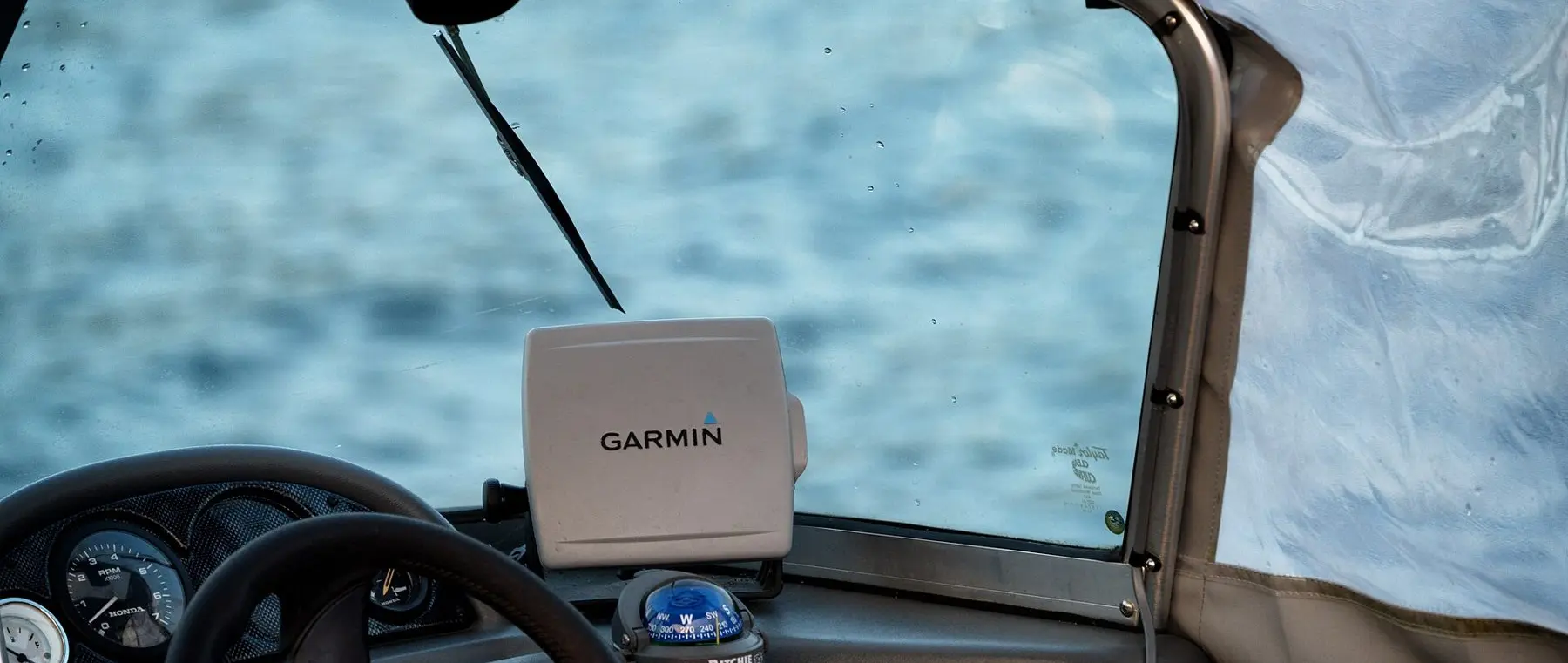
Verified references: Helios Technologies official partnership announcement; C-MAP official product website. Photograph: Garmin GPS Boat Navigation (49051925286).jpg, Tony Webster, Wikimedia Commons, licensed under CC BY 2.0. The photograph is an illustrative archive view of a third-party navigation display; it does not depict the announced Enovation Controls or C-MAP integration. The Commons image is resized for web use.
