
Recent surveys can reveal shoaling before charts catch up
The US Army Corps regularly surveys federally maintained channels and inlets, particularly areas known for shoaling. Raw survey results can be newer than the depths that eventually appear in updated navigation charts, making them useful to boaters using shallow or changing waterways.
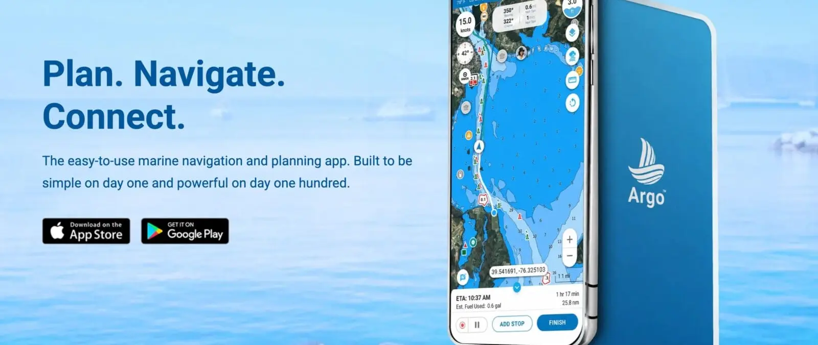
Argo places the survey layer directly over the chart instead of asking users to compare a separate PDF with their position. That reduces the mental work of matching an aerial image or survey sheet to the channel while steering a small boat.
Users can filter surveys by age
Panbo's review notes that Argo lets users filter the survey display from the most recent six months through longer periods. That matters because an old sounding can be misleading in an inlet that moves after storms or seasonal shoaling.
The safest approach is to prefer recent surveys and still treat them as historical observations rather than guaranteed present depths. Tides, dredging, storms and shifting sand can change a channel after the survey vessel has passed.
Autorouting offers inside, outside and shortest options
Argo also provides automatic routing preferences for shortest, inside and outside routes, with additional settings for marked channels and shoreline following. Panbo found the routing fast and useful for waters where an offshore run may compete with a protected inside passage.
Automatic routing can save planning time, but it must be checked. Small-boat operators should review every suggested leg for depth, bridge clearance, local restrictions, weather exposure and current conditions before relying on the route.
The feature is especially relevant to US coastal cruisers
The survey overlays are particularly valuable on waterways such as the Intracoastal Waterway, where shoaling can make yesterday's preferred track less useful. Boaters navigating tidal inlets may also benefit from seeing the most recent available survey pattern.
For LBG readers, the important point is not the app brand but the arrival of more current public hydrographic data inside everyday mobile navigation. Better information can reduce uncertainty, provided skippers understand its date and limitations.
Official sources: panbo.com.