
An independently written small-boat guide to Voyageurs National Park's island waterways, access ramps, reserved campsites, aids to navigation and safe seasonal cruising.
Voyageurs is a boating national park, not a roadside stop
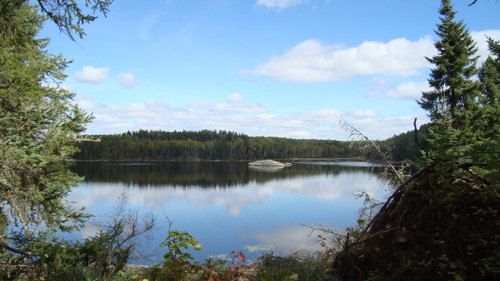
Voyageurs National Park in northern Minnesota is unusual because a boat is the principal way to understand its geography. Rainy, Kabetogama, Namakan and Sand Point lakes lead into hundreds of islands, secluded shores and small visitor destinations, with wooded headlands and passages that reward patient exploration. For owners of modest powerboats, the attraction is not a single famous view but the freedom to build an itinerary around sheltered bays, a historical site, a trail landing or a quiet night away from a road.
The National Park Service describes approximately 84,000 acres of park water and more than 500 islands, a scale that makes a short out-and-back from one ramp quite different from a multi-day cruise. Navigation should begin with the lake system and available fuel, not merely a desired campsite on a mobile-map screen. A boat that is comfortable on a calm inner bay may not feel the same on an exposed stretch of Rainy Lake when weather moves through.
October is not the boating season to assume easy services, warm water or full visitor-center hours. A late-autumn trip can be beautifully quiet, but it demands a seasonal operating plan that includes daylight, freezing conditions, safe shore access and a firm turnaround point. This is a guide to planning the next navigable trip as much as it is a description of the park itself.
Choose your lake and launch deliberately
Rainy Lake has an international border dimension and enough open water to feel larger than a conventional recreational lake. The Rainy Lake Visitor Center is a practical planning landmark, while the more developed shoreline outside the park offers the services that island campgrounds cannot. Captains should examine the current chart, buoy system and forecast for the exact part of the lake they will use, because distances around peninsulas can become significant.
Kabetogama and the Ash River approaches connect boaters with a different network of bays and passageways leading toward Namakan Lake. The National Park Service identifies public launching opportunities at the Rainy Lake, Kabetogama Lake and Ash River visitor centers, alongside private and state launch sites elsewhere. Trailer parking, ramp depth, permitted overnight vehicle stays and operating hours are separate questions and need checking against the chosen facility before towing a boat to the water.
Crane Lake and Sand Point Lake create another approach to the park from the south, particularly relevant to boaters linking the wider lake system. These waters offer attractive routes but do not remove the need for local chartwork or attention to shallows and submerged hazards. Start with a realistically short first day so that loading, refuelling, familiarising the crew with controls and locating the correct channel do not consume a risky amount of daylight.
Why the chart matters more than the scenery
Voyageurs is known for rock ledges and islands, and it is important not to treat a broad-looking channel as uniformly deep. The park warns that navigation buoys can move out of position and recommends checking nautical charts and GPS rather than relying exclusively on the physical marker. A cautious skipper reduces speed when identifying a turn, avoids cutting corners around points and has a second person cross-check the route through unfamiliar water.
The National Park Service does not itself maintain the main navigation-marker system; that responsibility involves the U.S. Coast Guard and local partners. At low water, additional hazard markings may be placed by the park. If a marker appears inconsistent with the chart, do not assume it is safe to pass close by it: stop in a safe area, verify the position and treat the suspected discrepancy seriously.
A sensible small-boat passage plan also accounts for how quickly exposure changes once a lee shoreline disappears. Carry an anchor and appropriate rode, spare propulsion or an alternative means of movement when practical, working navigation lights and a reliable way to communicate a position. A paper or offline chart remains useful when cellular reception drops behind hills or far from communities.
Reserve island nights before leaving the ramp
Many visitors come for the chance to sleep at an island campsite, but park camping is not an informal first-come docking arrangement. Voyageurs requires advance reservations for tent and houseboat campsites through Recreation.gov, while designated day-use destinations operate under different rules. The park identifies different site sizes and capabilities, including locations with picnic tables, food storage and landing arrangements; they are not interchangeable with a marina slip.
Boat-only access adds a planning layer to camping that drivers may underestimate. Check the site's permitted occupancy, suitable landing, whether the vessel can be safely secured and whether the berth is exposed to the prevailing wind. A campsite with a sandy landing for a small open boat may not be suitable for a heavier cabin cruiser, and guests should not assume a dock is provided just because a campsite appears on a map.
Bear-proof food storage is part of the design of many established campsites, and it should be used exactly as posted. The park reported temporary closures around Dryweed Island for bear activity in the 2026 season; as that notice referred to a defined period, it should not be presented as a permanent ban. Before departure, check the latest NPS alerts and the specific reservation record to establish what is actually open.
Build a boating day around experiences ashore
Well-chosen shore visits can turn the park from a scenic boat ride into a richer holiday. Forest trails, rocky outcrops and visitor destinations give passengers an opportunity to see the landscape from land without losing the pleasure of arriving by water. The point is to select one or two landings that fit the weather and the interests of the party, instead of trying to cover every attraction during one long motoring day.
Voyageurs has interior backcountry lakes that can be reached only after a water journey and hike, offering paddling on quieter water away from the main motorboat routes. These require extra transport arrangements and sometimes canoe reservations, so they work best as carefully prepared excursions. Local commercial water taxis, guided operators and boat rentals may help guests who do not want to operate their own boat throughout the trip, but availability is seasonal and must be confirmed.
Nature viewing deserves restraint. Keep suitable distance from wildlife, avoid crowding animals on shore, and make sure the boat is positioned so a sudden change of wind or wake cannot push it onto rocks. Early and late light can be especially rewarding for photography, but it should never be allowed to override the time needed to return to a known landing before darkness.
Safety, regulations and a realistic return passage
Minnesota boating law applies within Voyageurs, and the park summarises the need for an accessible, approved wearable life jacket for each person. Children under ten must wear a life jacket in a recreational boat under the cited state rule. The exact equipment requirement depends on the boat and its operation, so owners should review current Minnesota rules alongside the National Park Service checklist rather than assuming that lake use means fewer obligations.
The checklist also points to navigation lights, signalling equipment, an anchor, a first-aid kit and other practical essentials. Anyone swimming near a vessel must remember the danger of exhaust gases and should ensure engines and generators are shut down as the park advises. Before crossing open water, consider the temperature of the lake and air, the chance of a capsize and the time rescue would take if something mechanical fails far from a road.
Cross-border travel is a separate matter on the international lakes and should never be handled casually. If the planned route involves entering Canadian waters or landing in Canada, investigate the current customs, immigration and clearance rules for every person and craft. Similarly, anglers need valid licences and up-to-date rules, and boats moving between waters must follow invasive-species precautions for hulls, trailers and equipment.
The best Voyageurs itinerary ends with an unhurried return to the same ramp or an agreed alternative landing, fuel to spare and a weather margin. For a visiting crew, a two- or three-day route with one properly reserved night often creates better memories than a much larger loop driven by the need to cover mileage. On this particular lake system, the luxuries are safe navigation, silence and the freedom to pause.