
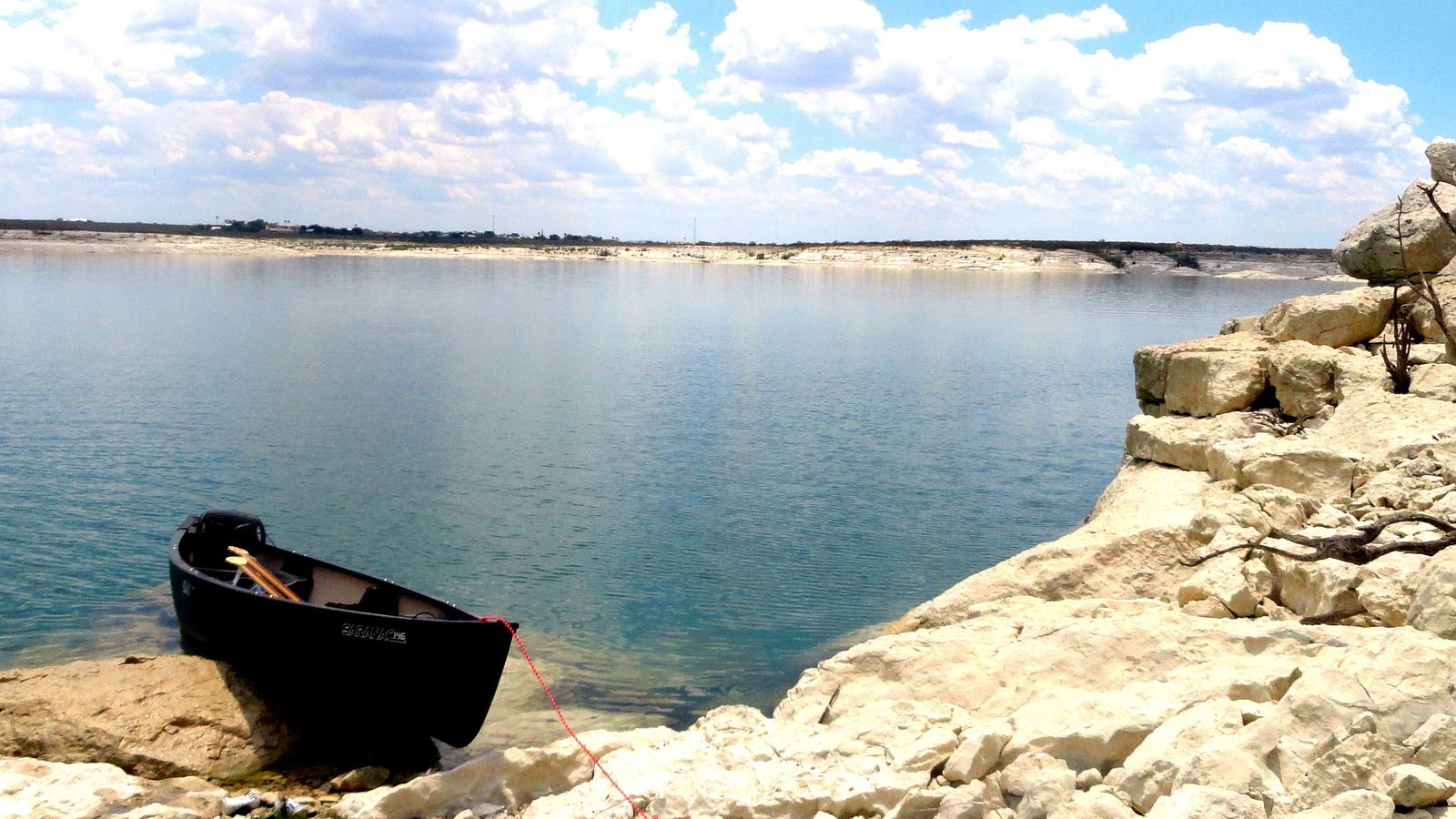
From the Spur 454 ramp, Amistad’s San Pedro Creek route leads past canyon scenery and shallow inlets. It is an unmarked paddle that calls for wind-aware navigation.
Choose a specific route on a very large lake
Amistad National Recreation Area in Texas protects a vast reservoir and sections of dramatic river canyon, but a recreational kayak does not need to tackle all of that space. The National Park Service describes a manageable day-paddle option from Spur 454 towards San Pedro Creek. The route trades a long open-water crossing for a series of coves, rock features and potential stopping places. Its appeal lies in the chance to explore quietly while keeping the itinerary proportionate to a small human-powered craft.
The park suggests launching at Spur 454 and travelling east towards San Pedro Shallows. Its route description identifies Horseshoe Cliffs at about 1.3 miles from the start and the shallows at about 3.2 miles, with a potential branch towards Longs Point near the cliffs. These are planning landmarks, not signed markers planted in the water. A route map should be loaded before departure, and its shoreline details must be checked against the actual reservoir level.
An alternative launch at Black Brush adds roughly one to one-and-a-half miles to the journey described by the NPS. That change may sound minor in a powered boat, but it can greatly increase a return paddle in wind. For a family or relatively new crew, starting at Spur 454 can help keep the distance under control. Decide whether the outing is a short cove visit, a paddle towards the cliffs or a more ambitious exploration before launching.
Wind can overwhelm a pleasant-looking plan
The National Park Service warns that winds across Amistad commonly average around fifteen to twenty miles per hour, and stronger periods are not unusual. A southern or southeastern wind may make one leg easier and the homeward leg unexpectedly difficult. Gusts can gather waves across open reaches even when a sheltered inlet remains glassy. Paddlers should observe the wider water before leaving a protected ramp, then check the forecast for any increase expected later in the day.
Because the suggested route is not physically marked, it is important to recognise each headland and understand how to regain the starting shore if visibility or conditions change. Stay within a manageable distance of legal shore access rather than committing to an unfamiliar crossing. A branch towards Longs Point adds open-water exposure, which may be unsuitable for a novice group on a breezy afternoon. There is no requirement to complete the full suggested trail to enjoy its character.
Water levels can alter the apparent shape and accessibility of coves and shallows. A place shown as open water on a map may be exposed or obstructed at a lower level, while submerged features can make close-to-shore navigation awkward. The park provides current-condition links for lake level and weather information, which should be reviewed on the day of the outing. Travel slowly when depths are uncertain and never force a loaded kayak across rocks to follow an old plotted line.
Supplies and boundaries in border country
Texas sunshine makes reliable drinking water, a wide-brimmed hat, sunglasses and protective clothing crucial. The NPS also recommends salty snacks and careful removal of every piece of rubbish. There is little shade in much of the canyon landscape, so plan breaks around available shelter without damaging fragile shoreline plants. Carry a properly fitted life jacket and keep a whistle, phone in a dry bag and essential navigation information accessible rather than buried under loose equipment.
Amistad is a reservoir on the international border, adding a further logistical consideration. The NPS warns that park rangers cannot respond to stranded boaters on the Mexican side. This is a compelling reason to keep the itinerary firmly within understood waters on the United States side and to know which jurisdiction applies to fishing or other activities. Cell phone coverage can be limited, so do not rely on the ability to call someone for an easy pickup.
Fishing enthusiasts should check licensing, closed areas and applicable rules before carrying rods aboard. Visitors should also avoid disturbing archaeological or natural features along the shore; federal protection applies to living and nonliving park resources. An attractive cove is a place to observe, not to collect souvenirs or carve marks into rock. Quiet paddling can be part of responsible recreation when the group respects both the natural setting and rules governing the reservoir.
Turn around while the paddling is still enjoyable
A good Spur 454 day begins with a conservative weather decision and a planned return time, then uses the cliffs and bays as useful reference points. Take a moment after launching to check how the kayak handles in current wind, and notice whether the easiest leg is taking the group away from the ramp. Keep a sensible margin for the return. If the conditions become uncertain before reaching San Pedro Shallows, shortening the route is the right choice.
The wider Amistad system offers many different paddle trails, from short sheltered excursions to demanding long-distance river trips. Do not confuse the mapped Spur 454 day route with a recommendation to undertake every crossing in the area. A sensible small-boat adventure can be a morning spent inspecting coves and watching the shoreline change in the light. Share the water with motorboats, make yourself visible and remain far enough from traffic to avoid difficult wakes.
San Pedro Creek shows why an unmarked but carefully described water trail can be so appealing. There are enough landmarks to build a thoughtful plan and enough space to appreciate the desert landscape from a kayak. Successful preparation is less about speed or a grand mileage claim than about knowing the route, wind limits, border implications and the ability to return safely. The best paddlers often turn back while the lake still looks inviting.
Primary planning source: National Park Service Amistad paddling trail descriptions and precautions. Consult the original National Park Service guidance and current notices before departure.