
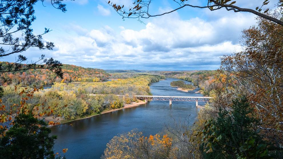
The Saint Croix National Scenic Riverway connects two contrasting rivers with routes for quiet family paddles, longer canoe journeys and experienced river travellers.
Two rivers with many ways to travel
The Saint Croix National Scenic Riverway protects a long river corridor through Minnesota and Wisconsin, combining the St Croix and Namekagon rivers. For paddlers, its attraction lies in variety: some reaches are friendly to an inexperienced family on a short outing, while others include shallows, riffles and more challenging river features. The National Park Service recommends choosing a particular stretch after examining maps and the skill level of everyone in the group.
A journey here can be as simple as a few hours on an easy reach or as ambitious as a multi-day canoe expedition with campsites along the way. Those experiences require different equipment and preparation. The first step is deciding how much time will be spent on the water and whether the group is prepared to handle a changing river rather than simply selecting the most attractive photograph of the landscape.
The Namekagon's more intimate character
The Namekagon flows through a landscape of forest, small islands and narrow bends, giving many sections a close relationship with the riverbanks. The Park Service describes parts as shallow and rocky, with rapids generally below Class II and several locations where a dam or former structure must be considered. Water level can be a crucial factor early in the river, especially after a dry period.
These details make river-section maps essential. A narrow channel that looks straightforward from the bank can contain fallen trees or shallow stones around a bend, while a flowage may feel calm yet expose a canoe to headwinds. Newcomers should seek advice about a specific launch, take-out and portage rather than assuming that a route suitable at one water level will always remain suitable.
The St Croix offers a different pace
On the St Croix, broad and narrow stretches create different opportunities for relaxed touring and more energetic paddling. The National Park Service publishes separate guidance for upper and lower reaches, and its maps identify landings, rapids, campsites and facilities. That information helps visitors select a route according to expected conditions instead of relying only on a general description of the river.
A longer paddle should leave time for sightseeing, rest and handling changes in the wind. A relatively open reach can feel more tiring when the wind opposes the current, while a faster section may demand more precise boat control. It is worth discussing the entire route with a ranger or experienced outfitter, especially if group members have different levels of paddling experience.
Maps, landings and the shuttle problem
River journeys are normally one-way, so the transport plan must be settled before launching. Outfitters along the Riverway can provide canoes, kayaks and transport for selected stretches, with the specific services differing by location and season. The Park Service also provides contact details for visitor centres where rangers can help identify suitable sections and explain where landings or facilities are available.
Keep the map accessible in a waterproof case and agree on the intended take-out with every member of the group. River miles and landing names are more reliable than vague instructions to meet at the next bridge. When using a rental service, confirm how late the shuttle operates and what arrangements are available if the group travels more slowly than expected.
Camping changes the experience
One of the pleasures of the Riverway is the potential to link days of paddling with overnight stops. Planning for several days introduces new responsibilities: food and water supplies, waste management, a reliable weather forecast and enough dry storage for bedding and spare clothing. The nearest road or settlement may not be conveniently accessible from a selected campsite.
Camp only where permitted, follow current rules and avoid damaging vegetation or riverbanks. A loaded canoe handles differently from a lightly equipped day boat, especially in rapids or a strong side wind. Practice moving and securing the loaded craft before committing to the longer route, and be conservative when deciding how far to travel between campsites.
Safety at the pace of the water
Flotation devices, paddles in good condition and clothing for cold-water immersion are basic requirements, but they are only the start of safe planning. The group should know how to handle a capsize and what to do if someone is caught against a fallen tree. Keep a lookout for obstacles and be prepared to stop and scout a feature rather than enter a rapid that cannot be assessed from upstream.
Communication may be limited on secluded reaches, so leave a route plan and return time with someone ashore. The Park Service's section descriptions and maps can help assess difficulty, but they cannot guarantee a particular water level on the day. Current forecasts and local knowledge should determine whether the proposed route remains appropriate.
Let the river set the timetable
The St Croix and Namekagon rivers reward visitors who resist trying to cover too much distance. A quiet morning in a canoe can include woodland views, wildlife and a sense of isolation rarely found in a busy marina. Different routes allow families and experienced paddlers to choose an experience that feels satisfying without turning the day into a test of endurance.
The National Park Service provides official paddling guidance, maps and outfitter information for the Saint Croix National Scenic Riverway. This article is a planning introduction, so check current levels, closures, camping rules and access before setting off. The image is an official park landscape photograph and is intended to show the river setting, not to imply that a particular landing is always accessible.