
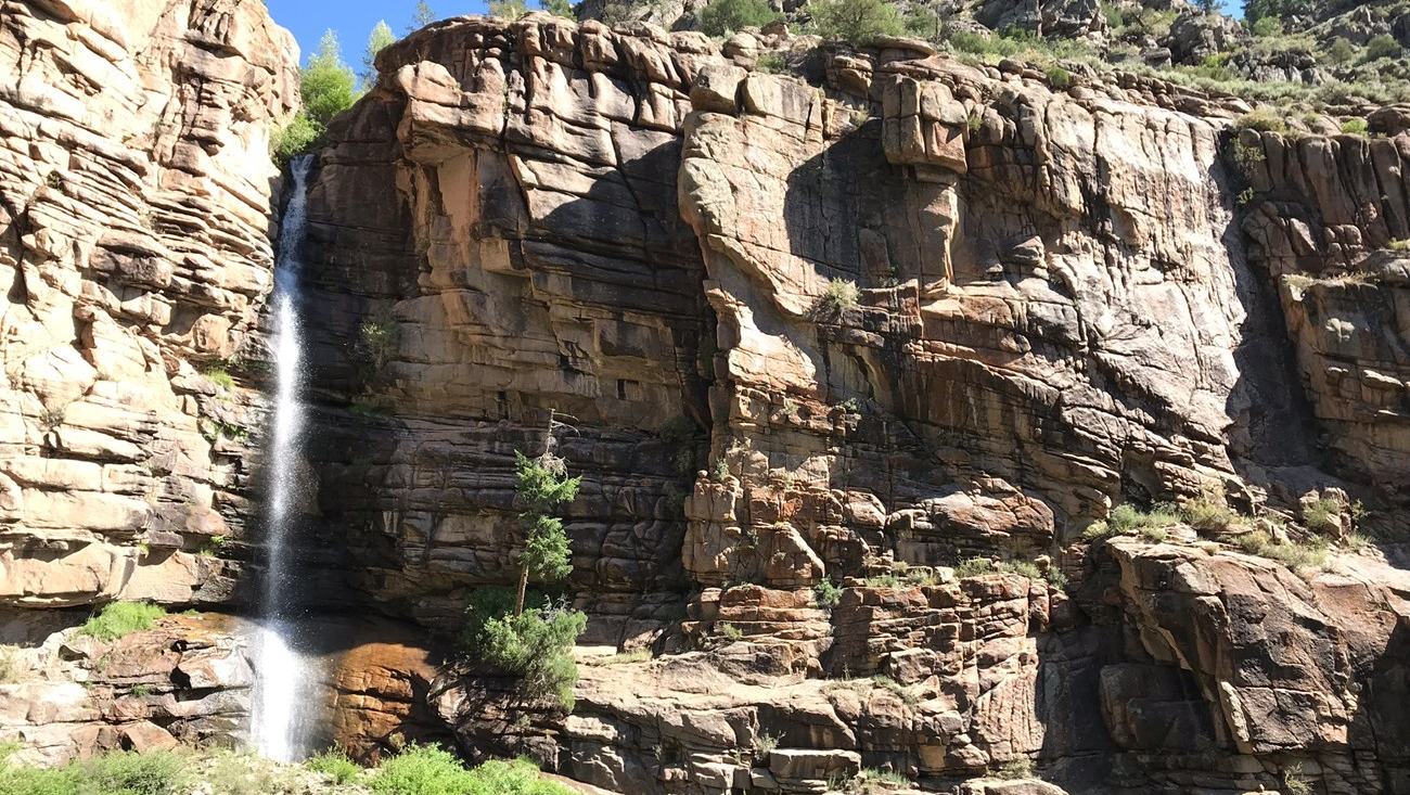
Morrow Point Reservoir offers a wild, narrow-water paddle beneath Colorado’s canyon walls. Its 232-step carry-in, variable currents and mandatory free permit make planning essential.
The quiet water lies below a demanding approach
At Morrow Point Reservoir in Colorado, the first challenge of a paddling trip begins before the boat reaches the water. The reservoir lies deep within the upper Black Canyon of the Gunnison, where steep rock walls frame a narrow, fjord-like channel. Unlike a broad recreational lake with a trailer ramp and nearby car park, Morrow Point is reached on foot. That physical separation creates the atmosphere of a remote canoe journey, but it also raises the consequences of poor preparation.
The National Park Service directs boaters to the Pine Creek Trail off US Highway 50, roughly one mile west of the Highway 92 junction. A short, steep approach road leads to the trailhead, where parking is limited. The path then drops into the canyon by a staircase of approximately 232 steps. Carrying a lightweight kayak down those steps may sound possible in theory, but the crew must also lift it back out after a long day afloat, along with paddles, buoyancy equipment and dry bags.
The reservoir offers a different character from Curecanti’s much larger and more accessible Blue Mesa Reservoir. Morrow Point has no vehicle access to its shore, and the park limits launching to boats that can be carried by hand. This makes compact, manageable equipment an important choice rather than a luxury. A paddler unable to control the boat safely on the descent, or without sufficient help for the return, should consider a shore walk or scenic overlook instead.
A beautiful reservoir with shifting currents
Morrow Point extends approximately twelve miles through the canyon, but that length should not be mistaken for a sensible day-trip objective. National Park Service guidance warns that water near the upstream end can run swiftly, especially where releases from Blue Mesa Dam influence the reservoir. The first stretch reached from Pine Creek can be hazardous, and operating conditions change with reservoir levels and dam management. A quiet-looking photograph is not a reliable current forecast.
Steep canyon walls make the scenery exceptional and may also restrict easy places to land. The temptation is to paddle farther whenever an open stretch appears around the next bend, but a downstream push can leave a surprisingly difficult return towards the launch. Park advice specifically notes that current can complicate getting back to the foot of the Pine Creek stairs. Choose a conservative turnaround point with enough reserve strength to work upstream, not merely enough energy to reach a scenic destination.
Wind deserves the same attention as current. High-country conditions can change over the course of an afternoon, and a narrow canyon may provide little useful escape if gusts catch a small craft far from a suitable bank. A trip plan should include weather checks, dam-release information, a reliable map and more daylight than the expected paddle requires. If the river-like upper water appears fast or turbulent on arrival, delaying the launch is an entirely sensible decision.
Permits, boat-in camps and self-sufficiency
Every boater using Morrow Point Reservoir must complete a free backcountry use permit, available at the Pine Creek trailhead. This requirement applies to the boating visit and should be dealt with before pushing off, even if no overnight stop is planned. Park materials also identify boat-in and backcountry camping possibilities, but the campsites are not interchangeable with unrestricted shoreline camping. Their locations and applicable rules deserve a separate review before a multi-day itinerary.
The park’s boat-in camping guidance warns that abrupt releases from the dams can create dangerous conditions on both Morrow Point and neighbouring Crystal Reservoir. A printed campsite map is a planning aid, not a navigation chart showing every rock, submerged obstruction or change in flow. Pack suitable flotation for every person, spare warm layers, first aid, food and a secure means of communication. A cold-water immersion in a confined canyon can become serious even in pleasant sunshine.
Because the trip begins with a carry, every item has a weight cost. Pack essential safety gear first, protect it from spray and distribute loads so nobody struggles on the steps or loses balance while holding the hull. For an overnight trip, take appropriate food-storage equipment, a compact stove and a method for carrying out all rubbish. Tell someone ashore where you expect to travel and when they should act if the group has not returned.
Build the day around the return, not the distance
A well-run Morrow Point excursion starts with a realistic equipment test on dry land. Load the kayak as it will be carried, make sure each person can manage the staircase and confirm the complete return route. The National Park Service current-conditions page reports trail status and changing visitor facilities, while its boating pages explain reservoir hazards. Consult both before travelling. Conditions and access arrangements can change after rain, maintenance or seasonal closures.
Take time at the bottom of the trail to observe the water rather than launching immediately. Watch for an unusually strong flow, debris or wind lines; check whether a comfortable landing is possible at the intended turnaround. Travellers should not try to compensate for a late start by paddling faster or cutting safety margins. A shorter paddle with time to enjoy the canyon walls is more rewarding than a forced march towards the distant end of a twelve-mile reservoir.
Morrow Point stands out because the sense of wilderness comes from the landscape itself, not from a list of amenities. A kayak can reveal reflected cliffs and hidden changes in the rock at a wonderfully unhurried pace, provided its crew respects the demanding access and the effects of dam releases. Complete the free permit, plan for the stair carry both ways and retain enough capacity to turn around early. The safest journey is the one that ends back at Pine Creek without drama.
Primary planning source: National Park Service Curecanti reservoirs and access guidance. Consult the original National Park Service guidance and current notices before departure.