
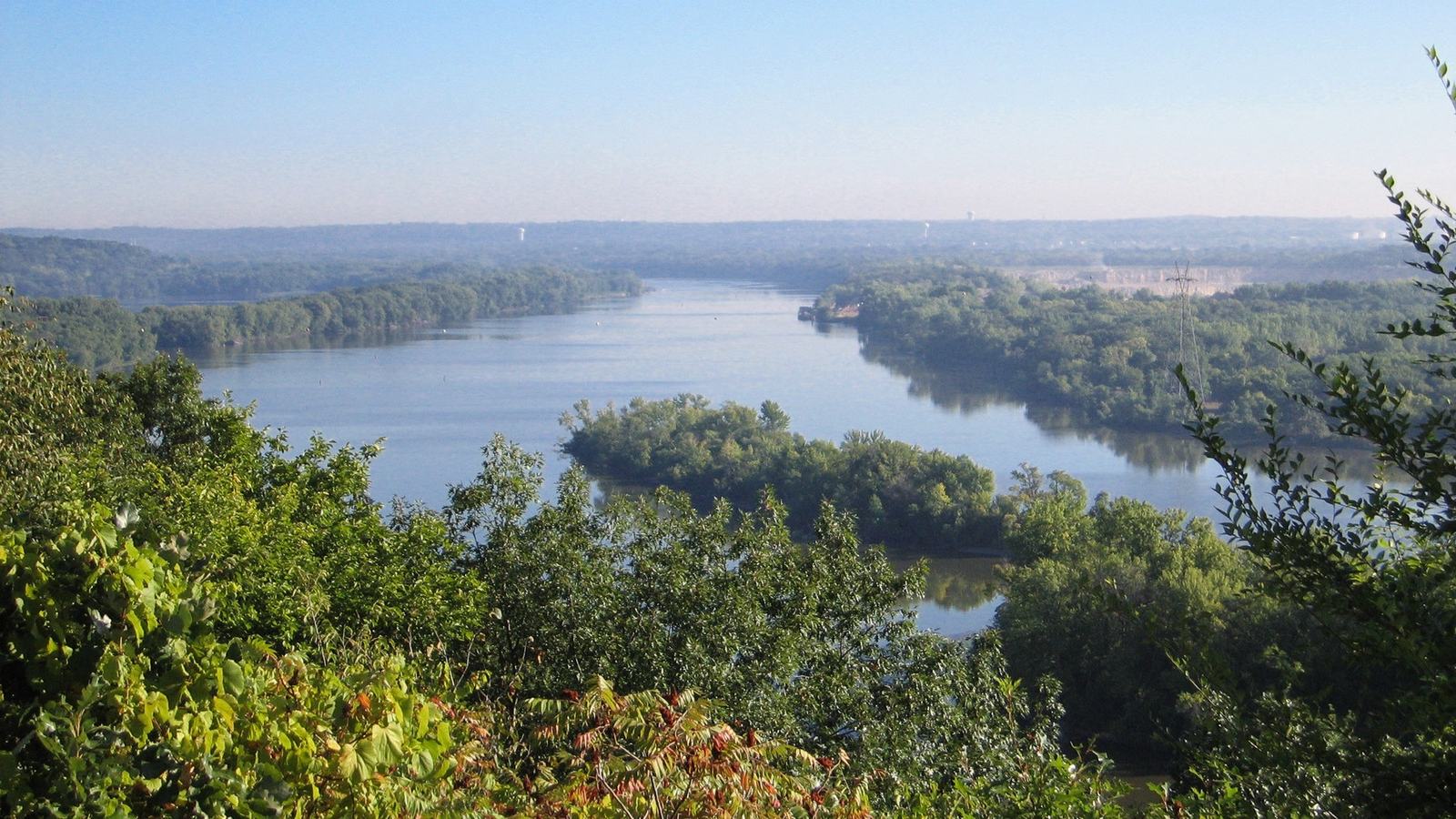
The Mississippi National River and Recreation Area offers over 70 miles of National Water Trail through the Minneapolis–Saint Paul region, with routes for paddlers of varying experience.
A major American river viewed from a small boat
The Mississippi is often associated with commercial shipping and long-distance transport, but the stretch through Minnesota's Twin Cities also supports recreational paddling. The Mississippi National River and Recreation Area contains more than seventy river miles, connecting natural backwaters with places where the skyline and infrastructure are close at hand.
A canoe or kayak can reveal a different side of the river from what visitors see on nearby roads. That opportunity comes with responsibilities because the waterway is active and conditions vary. The National Park Service encourages paddlers to study routes and ask rangers for current recommendations before choosing their launch.
Choose a route before arranging a boat
A first trip should begin with the abilities of the people involved, rather than the longest route shown on a map. Some reaches are better suited to newcomers, while sections with stronger currents or heavy traffic demand additional experience. Park guidance includes suggested trips and mapping information intended to help visitors make those distinctions.
The journey should have a known starting point, take-out and transport plan. Downstream travel can feel deceptively easy until a missed landing creates a much longer outing. Paddlers should estimate a realistic duration, allowing for rests, changing wind and time spent observing wildlife or managing equipment.
Why an urban river still demands care
The presence of nearby cities does not make moving water predictable. Current can push a small craft toward obstructions or make progress difficult when paddling upstream. Bridge supports, shoreline structures and submerged debris require attention, especially when high water has carried new materials into the channel.
The river can also look calmer from a path or overlook than it feels at paddling height. Visitors should make decisions from appropriate navigational information and current conditions, not from photographs taken in another season. Local rangers and experienced outfitters can explain hazards that may not be obvious to someone unfamiliar with the area.
Commercial traffic needs generous separation
Parts of the Mississippi support larger working vessels and barge movements. A tow pushing several barges cannot manoeuvre like a kayak and its operators may find small craft difficult to see, especially around bends. Recreational paddlers should give commercial traffic a wide berth and avoid entering a channel in a way that obstructs passage.
Wake and displaced water can also affect a lightly loaded canoe. Crews should remain aware of approaching boats and plan where they can wait safely if traffic becomes complicated. A recreational journey should never depend on the assumption that a large commercial vessel will change course to accommodate a small boat.
Locks, dams and portages shape the itinerary
The National Water Trail includes areas where paddlers need to understand navigation infrastructure rather than simply follow the direction of the current. The National Park Service identifies operating locks, major portages and facilities that affect possible journeys. Such features should be identified during planning, before the craft is afloat.
A portage may require the crew to carry or move its boat and belongings over land. Distance, steep banks and access rules can make that more demanding than expected. Visitors should check the latest instructions for any lock or dam and avoid approaching restricted infrastructure without knowing the designated safe route.
A rented kayak offers an alternative
People who do not own a boat can investigate local rental and guided opportunities listed by the park. The Twin Cities area has outfitters and programmes that may simplify equipment, launches and transportation. Each provider has its own arrangements, and availability can vary by season and the river's condition.
An introductory guided outing may help new paddlers learn how to keep their boat balanced, communicate and respond to changing current. Before booking, ask what flotation equipment is provided, whether prior experience is required and exactly where the tour starts and ends. No rental reservation can guarantee suitable weather.
Prepare for unexpected immersion
The water temperature may be substantially cooler than the air, even when the riverbank feels warm. A capsize can create difficulties for people who are unprepared or have poor swimming ability. Appropriate flotation devices, suitable clothing and a plan for helping a crew member back to safety are essential considerations.
Dry bags can protect communication equipment, extra clothing and important belongings, but they should be secured so that they do not become loose hazards. Paddlers also need to think about their own health and energy levels. Fatigue can reduce judgement long before someone recognises that their arms are becoming tired.
Wildlife and quiet places beside the city
Natural islands, riverbanks and backwaters provide habitat for wildlife within a heavily populated region. Travelling quietly may allow paddlers to observe birds and changing vegetation without disturbing animals. Those experiences are part of the appeal of the National River and Recreation Area, even when buildings and bridges remain visible.
Visitors should use permitted landings and follow rules for campsites or protected areas. Some islands and banks may be unsuitable for access because of habitat sensitivity or river conditions. Food packaging, fishing line and other rubbish should be secured and taken away so that wildlife does not become entangled or attracted to human waste.
Check conditions and communicate the plan
Before leaving, review river levels, the weather forecast and any park alerts that could affect access or safety. A route used earlier in the summer may have different conditions after heavy rain. Thunderstorms, wind and fast-moving floodwater can make an otherwise straightforward journey inappropriate for a recreational crew.
Tell a responsible person where the group plans to paddle and when it expects to return. Communication devices should be usable while wet and securely stowed. If conditions exceed the group's capabilities, shortening the trip or remaining ashore is a responsible decision rather than an unnecessary disappointment.
Make the first Mississippi outing manageable
The Mississippi National Water Trail demonstrates that an important working river can also offer memorable small-boat recreation. Its scale, however, makes advance planning vital. Starting with a suitable short route builds familiarity with currents, landing procedures and other traffic without exposing newcomers to avoidable complexity.
The National Park Service's current maps and visitor information are the best starting point for planning, followed by local advice. A successful day is one in which everybody returns safely, with the time and enthusiasm to explore another section later. Distance and speed matter less than sound decisions and enjoyment.
Source
US National Park Service