
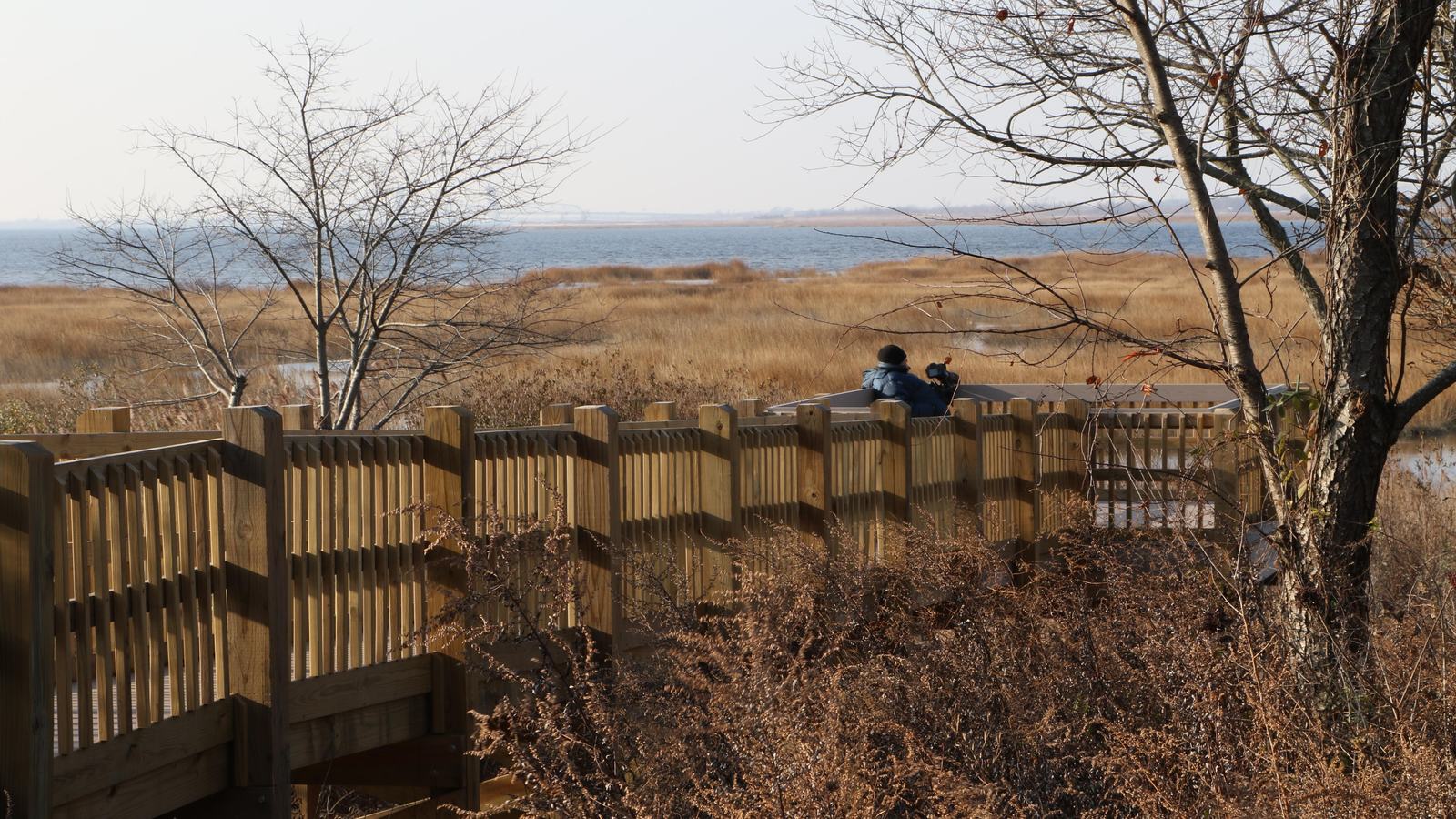
Jamaica Bay places sheltered-looking channels and tidal wetlands beside New York City. The National Park Service maps kayak access but prohibits landing on its marsh islands.
A remarkable water landscape within a metropolis
New York City’s waters are often imagined as busy ferry routes and towering waterfronts, yet Jamaica Bay offers an altogether different small-boat landscape. This tidal estuary is part of Gateway National Recreation Area, where marshes, open water and low islands sit close to densely developed neighbourhoods. A kayak or canoe can offer a quieter perspective on the relationship between city and coastal habitat. It remains a navigable marine environment, however, and should not be treated as a park pond.
The National Park Service provides a Jamaica Bay Unit kayak map identifying places where small craft can launch. Gateway’s boating guidance includes access in the broader bay area at Floyd Bennett Field’s seaplane ramp and launches around North Channel Bridge, Mill Basin and Canarsie Pier. These are starting-point options to investigate, not permission to land wherever the shore appears convenient. Review the official map and current local access information before selecting a particular launch.
A visit can combine waterfront scenery and ecological observation without trying to cover the whole bay. Choose a small, manageable circuit suited to the weather, the boat and the experience of the group. Salt marshes can be fascinating from the water, but their seemingly navigable creeks can change dramatically as tides rise and fall. Navigation planning needs more than a line on a tourist map; it requires tidal awareness, a route and a clear return point.
Marshes are for viewing, not landing
Gateway’s boating rules make an important distinction between enjoying the bay and entering protected habitat. The NPS prohibits entry into salt marshes and landing on islands in Jamaica Bay. A separate visitor map also makes clear that visitors must not land on the marshes. Kayakers should remain on permitted waterways and avoid cutting through sensitive vegetation to save distance or take a photograph. A patch of exposed mud at low tide is not an invitation to walk ashore.
The marshes provide feeding and refuge areas for birds and other wildlife, so the manner of approach matters. Use binoculars rather than crowding resting birds, paddle quietly and keep groups compact when passing sensitive edges. Propelled boards and kayaks can damage plants just as effectively as larger boats if paddles, fins or hulls scrape through shallow vegetation. Keeping a respectful distance allows visitors to appreciate the scene while preserving the habitat that makes it special.
Personal watercraft such as jet skis are prohibited in Gateway waters, including Jamaica Bay, and the park separately restricts motorboat beach landings. Recreational kayakers still need to consider other legitimate traffic, fishing lines and changing visibility. Never assume that other boaters can see a low craft against reflections. Wear a suitable life jacket, communicate clearly with companions and remain alert around any marked navigation channel.
Tide, wind and the challenge of finding home
A tidal bay may appear calm from shore even while a strong flow is moving through narrow approaches. Before departing, examine tide and marine forecasts as well as the latest park notices. A route that feels easy with a following flow can demand far more effort on the return, particularly if the wind strengthens. Plan an out-and-back journey with an early turnaround margin, not an open-ended exploration of unfamiliar marsh channels.
Urban waterways also contain navigation aids, boat wakes and places where the safe channel is not obvious. Take an offline chart or reliable marine map, establish the exact launch position and know how to navigate back if familiar buildings disappear behind a marsh island. Keep phones protected against immersion and do not depend on a single device for safety. The bay is close to homes and roads, but assistance may still be difficult to reach promptly from the water.
Clothing should reflect water temperature, not only the air forecast. A sunny day beside the city can still produce a dangerous chill after a capsize, and fatigue can impair decisions quickly. Carry drinking water, suitable layers and a whistle or other effective means of attracting attention. If visibility falls, thunderstorms approach or the route becomes confusing, return while conditions remain manageable. There is no benefit in exploring beyond a group’s ability to navigate safely.
A wildlife visit with a modest footprint
The best Jamaica Bay kayak experience is often a measured paddle from a recognised launch followed by time watching the marsh landscape from a permitted distance. Avoid loud music, chasing birds or attempting to beach on protected islands. Take all food packaging and other rubbish away and use proper facilities ashore. A guide familiar with tidal routes can add enormous value, although the availability of a particular tour or rental should always be confirmed directly.
Those new to paddling may wish to build skills on more protected water before entering the bay independently. Gateway has historically supported kayak safety instruction, but past programmes are not proof of a current class or guaranteed equipment hire. Contact the park or an authorised local provider for present arrangements, and ask about appropriate trip length, forecast limits and assistance procedures. Preparation should account for both paddling ability and environmental restrictions.
Jamaica Bay demonstrates that a nature-focused boating day does not require leaving a major city. The coast’s ecological value is the attraction, and that value survives only when visitors keep to appropriate water routes and respect the no-landing rules. Use the park’s official kayak map, plan for the tides and take a conservative route. A quiet, well-managed outing can reveal a side of New York that is easy to overlook from the road.
Primary planning source: National Park Service Gateway Jamaica Bay Unit kayak launch map. Consult the original National Park Service guidance and current notices before departure.